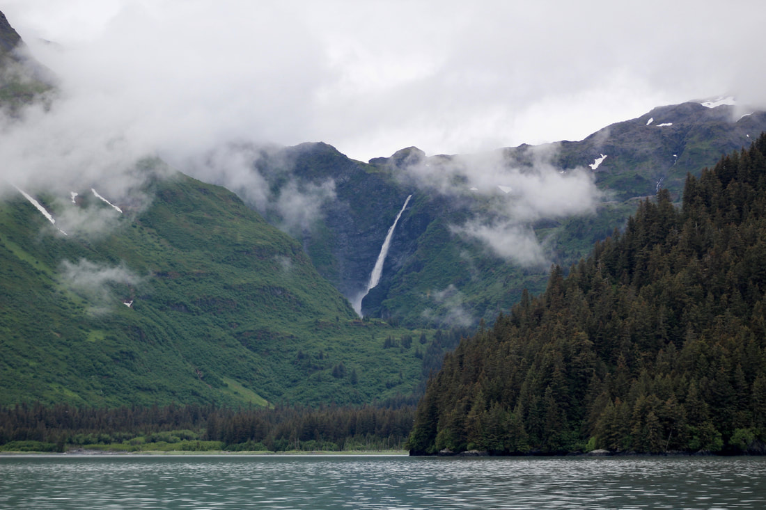
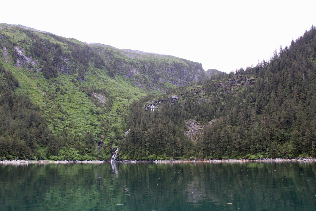
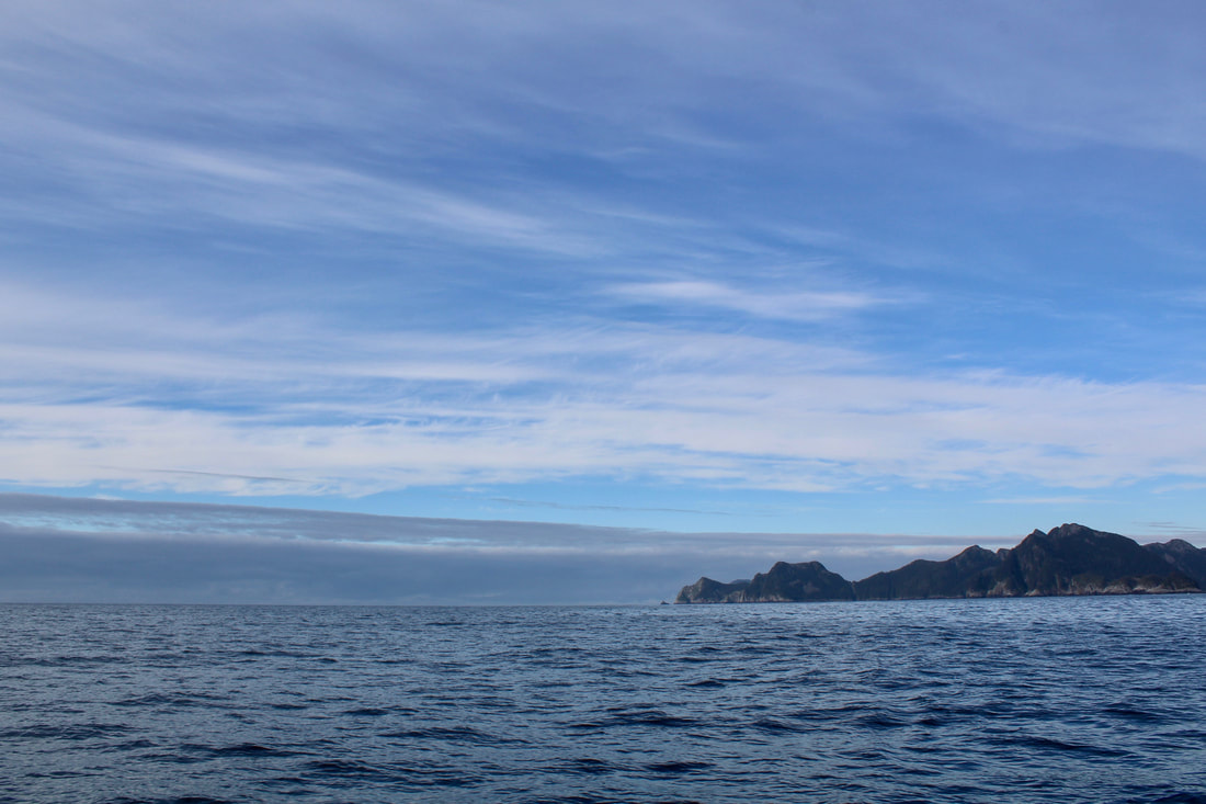
 The 900-foot Kvasnikoff Falls, fully charged with rain after the storm. After the gale... excerpts from the log: 18 June 2020 1300 Depart Pilot Harbor 1530 Harrington Point 2000 At anchor, Midnight Cove Relaxing morning, aside from the fact that the forecast is calling for another round of east wind and 17-foot seas in a few days. Seventeen!? That's winter storm height, ugh. It's still far out, but better to reposition ourselves to be closer to town in case it ramps up or comes closer to the coast. If it's a typo it will hopefully be caught before we're too far along! Pulled up very muddy ground tackle with mud squashed in every link. The wire mousing on the anchor shackle had even broken but remained in place! All that swinging around during the storm definitely put some stress on our gear but that's why we put so much effort into maintaining it and backing up the various components. Our 22 lb Bruce anchor with 100 feet of 5/16 chain and 250 feet of line in the water definitely held us in place! Motored out into the North Arm of Nuka. Glass calm with soft, low, wispy clouds clinging to the spruce trees - love these days! Great views of the 900 ft Kvasnikoff Falls, extra charged with rain from the storm. Lush vegetation everywhere, hills and mountains more gently sloping than the fjords to the east. Looks like bear paradise! Around Quartz Bay we began to feel the residual swell wrapping into the bay. 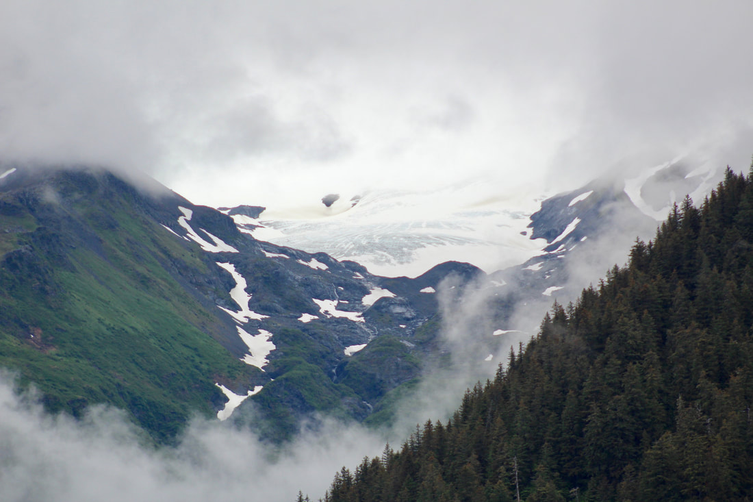 Mist hanging low in the valleys, framing our views of the glaciers. After trolling for salmon under sail on our way east from Harrington Point (nothing caught, but still a good time), we passed through the narrow entrance from Moonlight Bay into Midnight Cove. Lots of freshwater from the waterfall creating a murkey brackish layer where the fresh water and salt water mixed. Lots of current with the tidal change too - fun watching jellies zooming past and capturing underwater footage of bull kelp streaming by. We found a nice spot to anchor and had a quick dinner. Some of our onions were starting to go bad, so I made a large batch of escabeche (pickled onions, carrots, and jalapeños) and made the whole boat smell - delicious, and strongly - like vinegar and onions. Midnight Cove Taqueria! Soft rain in the late evening. Amazing to have hardly any wind. The forecast is still calling for 17 foot seas in a few days.
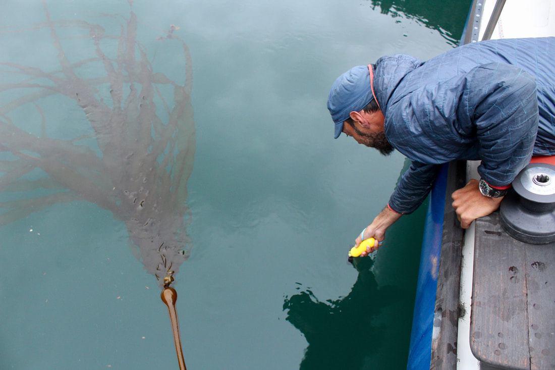
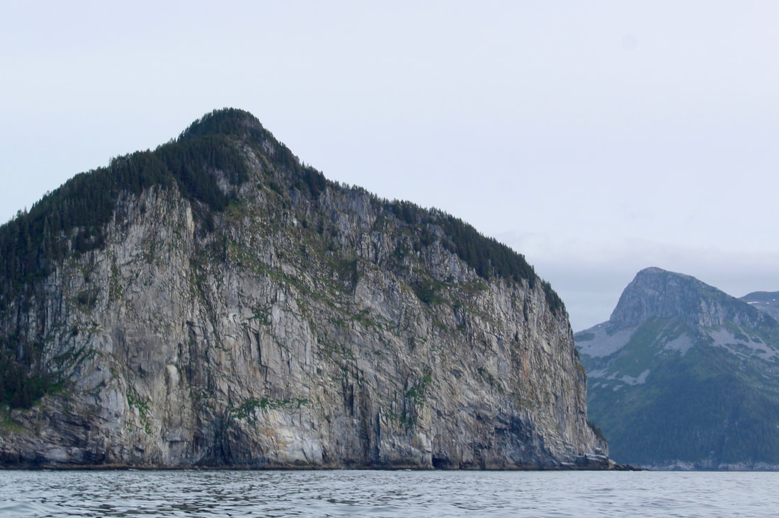
19 June 2020 0515 Depart Midnight Cove 0650 McArthur Pass 1430 Pete's Pass 1530 Off Cape Aialik 1930 At anchor, Sunny Cove This morning the updated forecast still calling for seas 17 feet in the near future, and paired with strong east winds. We decided to go as far as we could towards town today. Up very early to haul back, wonderful sticky and stinky mud on the chain and anchor! Lots of life going on down there. Motored in the calm of the early morning down to McArthur Pass. Got there just in time too - water was beginning to push westward just on the other side of the narrows, even though the tide was technically ebbing for another half hour. There's a lot of complex bathymetry around here, and in narrow passages that link very large and different areas it's difficult to predict exactly what the water will be doing at a particular time. There are no current tables for this stretch of coastline. The only way to know is to go and have a look! When we crossed that current line the bow pulled hard to port, but I was able to correct her quickly. It was a little like running a river rapid, but in a sailboat. Fast way to get your heart galloping early in the morning! 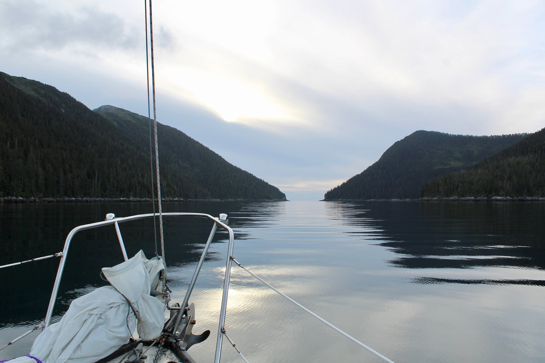 Early morning transit through McArthur Pass. 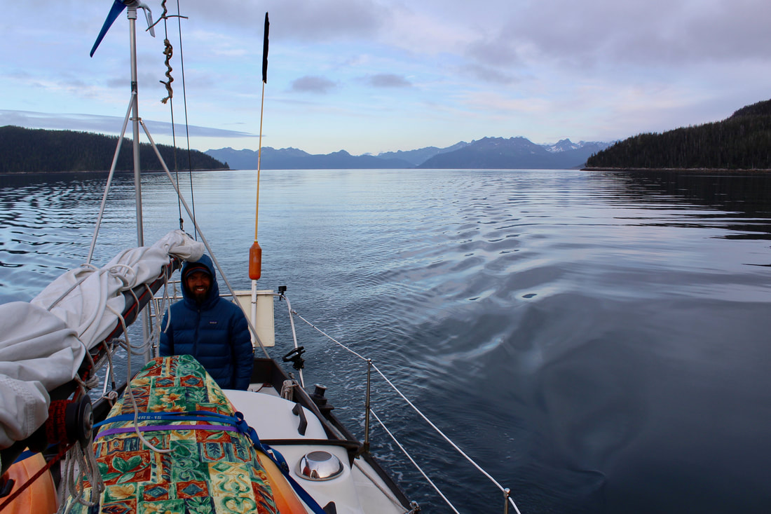 Early morning transit through McArthur Pass. We took turns on the helm as we motored toward the southern tip of Granite Island. It's a good stretch of water to cross (about 20 nm) so the silhouette of Granite Island barely seemed to get closer as the Pye Islands fell away behind us. Long period swells left over from the last storm made things a bit rolly, but Katabatic handled them gracefully. Later in the morning the wind picked up a little so we set sail and inched along, but the swells were large enough that we had trouble keeping the sails full in the light breeze.
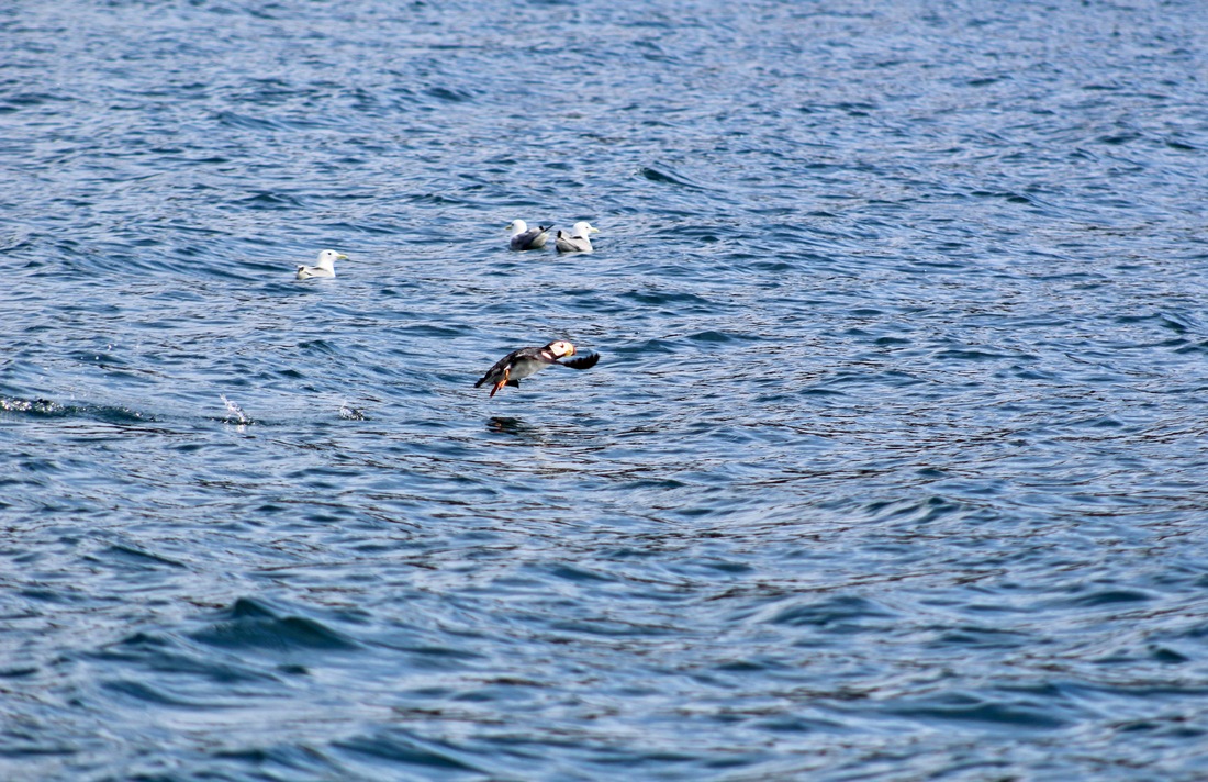
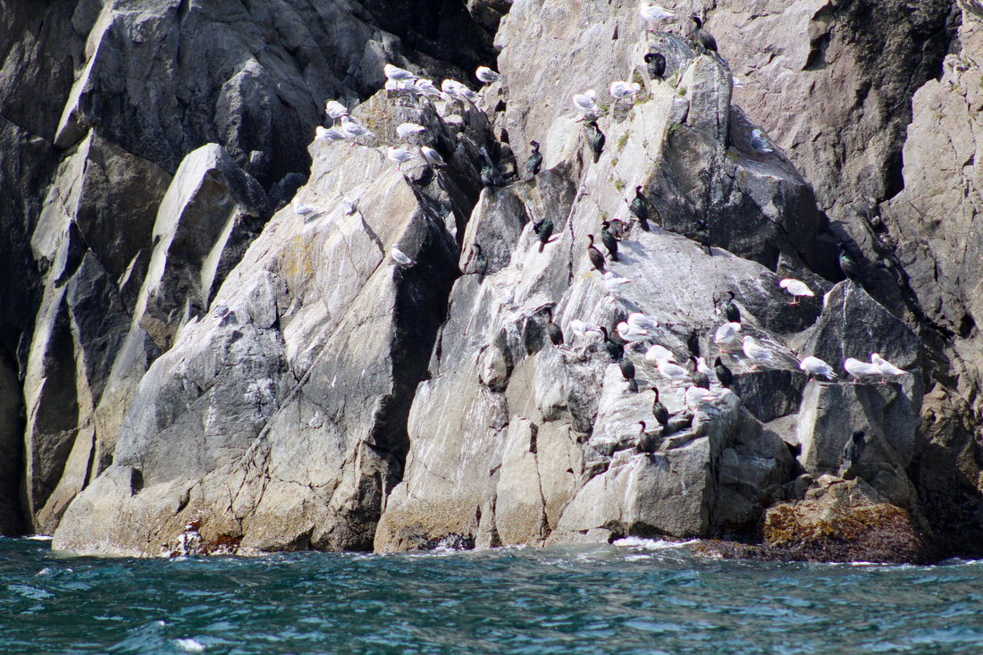
In the afternoon we travelled through the Chiswell Islands via Pete's Pass with several humpback whales and lots of feeding seabirds. This group of islands is part of the Alaska Maritime National Wildlife Refuge that protects the breeding and feeding grounds of many types of marine mammals and birds. We tried our luck trolling for salmon just east of Pete's Pass, but the only catching was done by the horned puffins, pigeon guillemots, cormorants, and black-legged kittiwakes fishing for small forage fish. 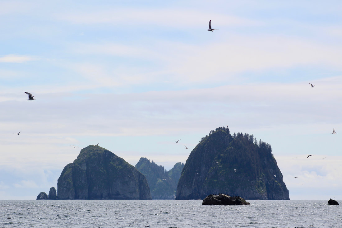 The Beehive Islands!
The wind filled in during the afternoon and we were able to sail ExN into the widest part of the Harding Gateway. It was a treat to be in this spot, rather than hugging the coastline, because from here we could see to the west the towering peaks and glaciers of the Harris Peninsula over the lower jagged ridgeline of the Aialik Peninsula. Ellsworth Glacier in Day Harbor was visible to the east, and Rugged Island and the familiar shorelines of Resurrection Bay to the north. The afternoon update of the forecast still had 17 foot seas for two days on the horizon. But now Wednesday is in the forecast, and the seas drop back down to 9 feet. Before we didn't know what was on the other side of this storm, but seeing further into the forecast makes us scratch our heads - things don't line up. Brent sent inReach messages to a few folks asking them to look into it, and our friend Charity looked online at the NOAA models and Windy models and didn't see anything that looked like it would throw that much swell. She called up the NOAA Anchorage office, surprising the forecaster who apparently didn't realize the number was listed on the internet, and asked them to check in on this forecast. We can't thank her enough! A few hours later, we heard the computerized voice of the marine weather forecast change from seventeen foot seas to seven foot seas. It was a typo, or a forecasting mistake, or something. We were shocked it wasn't caught over the last four forecast cycles, as hundreds of people listen to these marine forecasts daily to make decisions on how to operate safely on the water. Tour boat captains, water taxi drivers, kayak guides - many people live and work around the dynamic weather conditions of this coastline. This finding was both a relief and frustrating. We didn't have to worry about a massive storm, but we also spent a good deal of time, effort, and resources avoiding a system that didn't actually exist. Though if the original forecast had been accurate, or even close, our decision was a safe call and we were happy with that. Forecasts are incredibly useful, though not infallible, and we were fine with the decision we made with the information we had available. A push of over sixty miles today, phew. Unfortunately none of my photos from this morning captured the big swell along the outer coast. Now anchored in 90 feet of water in the back of Sunny Cove. Quick dinner of beans and rice with cheese and fresh limes. Brent and I laugh at how we're so close to Seward, yet we still feel two weeks away (his phone isn't working and I let my contract temporarily lapse). Cell service is all around us, but we're happily looking at clouds. 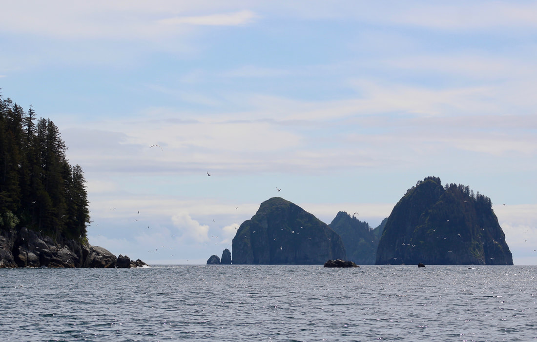 Even the stress of 17-foot seas didn't distract us from this beauty!
1 Comment
Laurie
2/14/2021 06:18:17
Great narrative. It has been soo enjoyable to read through these stories and see the photos. What an amazing adventure and very thankful for you sharing theses stories with everyone. I appreciate being able to see these hard to access places, Just beautiful, I can see why you do what you do! Your comment will be posted after it is approved.
Leave a Reply. |
Voyage Log
AuthorCanvas & Ice Archives
April 2021
Categories |
 RSS Feed
